Hello to my wonderful readers.
I’d like to begin by apologizing for being lazy with this blog; I get so many wonderful comments from the fans, and I should be reciprocating by writing often and always. I haven’t been, and I’m sorry.
This particular entry is a bit out of order, chronologically, as I still owe you guys some words about my 5 weeks in Brazil, my first CouchSurfing experience (as a surfer) in Sao Paulo, and some retrospective muse regarding East Africa. This will come in time.
Our story will start from the moment I enter Argentina, waving goodbye to my darling buddy Fernanda Pompeo in the Puerto Iguacu Terminal, and boarding a 20-hour bus to Buenos Aires. I arrive in BA around 7am, run some Patagonia errands in the afternoon, eat some ice cream, meet up with my buddy Nina P from Penn State for a few beers, and then board a 4:45am plane to Ushuaia, which I almost missed.
I write this particular entry from Ushuaia, Argentina, which holds the title as the southern-most city in the world. It has a police force, fire department, casinos, restaurants, and spectacular mountain views. I’m in the bean bag room of Hostel Cruz del Sur, sitting on some blue and orange cushions. I’m wearing a grey Patagonia t-shirt, jeans that are clean, and no shoes. My feet are a bit dirty.
Roughly a week ago, as I was carrying my 11″ Macbook Air in my right hand and walking towards this very same room, I was approached by Carey from Arizona and Sharka from the Czech Republic. They had heard about this hike, El Circuito de Los Dientes de Isla Navarino, and asked me if I wanted to join. This is the southern-most hike in the world, and it is well far from the daunting infamy of the “tourist trail.” Not many indulge. I obviously have no plans, and am instantly hooked; Carey was really enthusiastic. I put my laptop down, run out to change the bus ticket I had booked for that week, and begin to organize: clothes, camera gear, tents, sleeping bags, food, safety measures, the “I love you Mom and this is the most I-actually-might-not-come-back-safely-thing-I’ve-done-so-far” Skype call, etc. Standard stuff.
The organizational phase ended up being super hectic, with Carey, myself, and my new Australian buddy “Lobo” sprinting around Ushuaia for the remainder of that day, as well as the next. Sharka eventually bailed, our Mexican buddy Jay teetered but eventually bailed, and the few others that I asked to join shot me down pretty quickly. Our group was set: Will from Philly, Carey from Flagstaff, and Lobo from Melbourne.
The following day, we wake up and eat breakfast, gear up and pack lunch, and head off. The hike begins in Puerto Williams, Chile, which bests Ushuaia as the southern-most permanent civilization on Earth. It’s a town, but definitely not a city. Puerto Williams is only about 25km from Ushuaia, and is accessible only via the Beagle Channel, which is the famed pass that Darwin sailed back in the day. For transport, we organized a “private” sailboat, which essentially means that we signed a government document saying that we were not paying this dude to take us 4 hours down the channel, and then promptly paid this dude to take us 4 hours down the channel. Chile and Argentina do not get along too well down here, as they have a long history of border disputes, so our black market shadiness was probably standard after all. No worries.
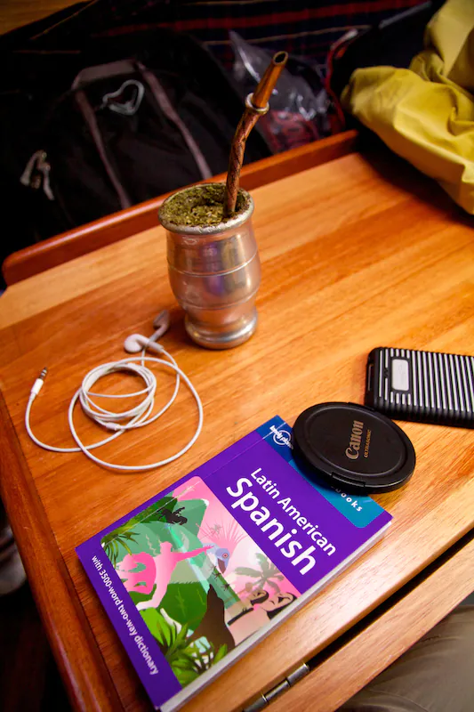
We eventually leave the hostel, and head down to the dock. We are greeted by a small tin motor boat–into which we load ourselves, our backpacks and our food–and are ferried a few meters to the craft of our captain, Luiz, who turns out to be a dude–as advertised. I begin the trip hanging out on deck, but quickly move inside; boats really aren’t my thing. I sit in the cabin for almost the entire ride, listening to music, nodding off to sleep, and trying my best not to puke. Boats are really not my thing.
*Quick anecdote: I almost hopped on the last boat of the season to Antarctica a few days prior, which requires 2 days on a boat down the Drake Passage to get there, and 2 days to get back. The Drake Passage is epic choppy. I don’t like boats, and I also don’t like medication. However, I would have utterly incapacitated myself with Dramamine, and dragged myself on that thing. Would have been worth it for sure. The trip seemed like a bit of a late-season fart-out trip, though, so I decided to wait for a better opportunity. I’d really love to go.
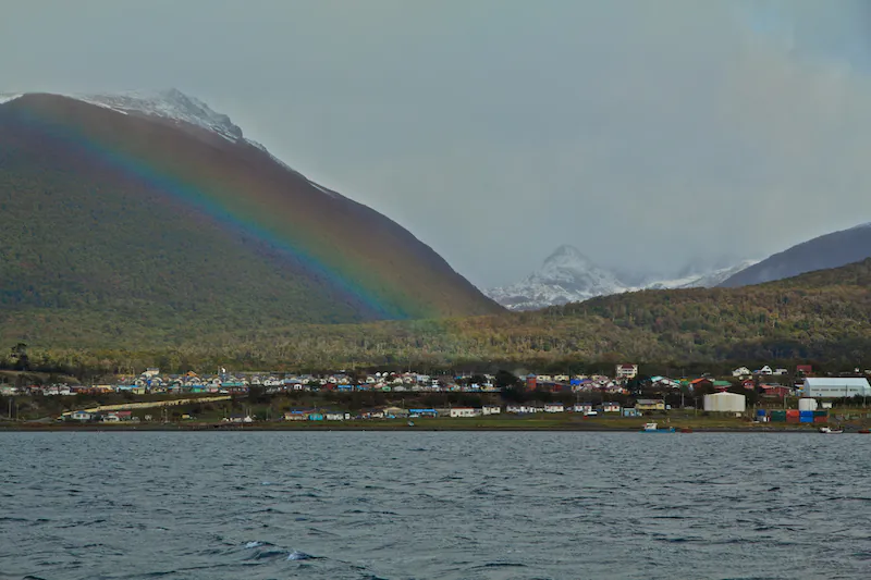
Around 3:30pm, and we arrive in Puerto Williams. It’s a small, colorful looking town, with some scenery similar to that of Ushuaia. Quick shot upon arrival:
Once we dock, we are told that the Chilean authorities won’t let us pass immigration until 6pm, because again, the Chilean and Argentinian governments don’t get along too well down here. We were coming from Argentina. The following 2.5 hours go something like this:
Some friendly Israeli/Palestine discussion between Carey and myself found its way in there as well. The recent-army-graduate Israeli is the utterly dominant backpacker archetype in South America since, well, when they graduate from the army, they all come to South America. Or India. There are so many Israelis backpacking South America, making Israel a normal topic for conversation.
At 6pm, we finally pass immigration, and head into town. Lonely Planet tells us that there is a restaurant here that serves beaver, as well as some other wild birds, but unfortunately, we are told that the place has been closed all year. Instead, we find a hostel, make some pasta, and head off to bed. 5 long days and 53 brutal kilometers of hiking lie ahead.
The next day, after a bit more organization and scrambling, we head off around 12:45pm. Lonely Planet tells us that it’s only about 4 hours from town to our campsite, so we figure to have plenty of time, as it gets pitch black around 8pm. The following is a detailed account of our hike, which will serve both as a story for the readers, as well as a trip report for others planning to do this trek. There isn’t too much information about Los Dientes on the net, so hopefully this well help.
General Notes Regarding the Trek, and Puerto Williams:
1) There are several cozy hostels in town, and I can’t imagine any ever come close to filling up. There is no need to book a hostel beforehand. They all cost roughly $22/night, which is of course a bit pricey for South America. However, you’re at the end of the world, so this is logical. Most are family-run, which is cool too. You basically stay in someone’s house.
2) You can hire absolutely everything in town, and it’s all that wicked Doite gear. Doite high-mountain tents, Doite cooking gear, Doite sleeping bags, and even some jackets, I believe. We paid roughly $4/night for tents, and $2/night for sleeping bags. The shop is right across the street from the government building. Maps can be bought there as well, and the couple that runs it is very, very nice.
3) There are very few restaurants in Puerto Williams, so be prepared to cook. There is a bar, which is located on the dock barge, where all of the boats are parked. Lots of round-the-world sailors are in Puerto Williams, so you get to share drinks with them. This would be very cool, but unfortunately, we never made it.
Day 1: Puerto Williams to Laguna Del Salto
Around 12:45pm, myself, Carey and Lobo get going. We walk a few kilometers, including the streets of Puerto Williams and a long gravel road, and arrive at Plaza de La Virgen, which has a statue of the Virgin Mary. El Circuito hikers are meant to rub her pinky for good luck, which we of course do.
The walk continues, and around 2:30pm, we stop by a small lake for lunch–leftover noodles, vegetables and sausage, stored in the now-empty container of the maple ice cream we inhaled the evening prior.
After finishing, we get going. There is a trail to the right of the lake, and two trails to the left of the lake, where we ate–three trails in total. Take the middle trail–the one that points roughly northeast. I don’t know where the other two lead, but for the circuit, the middle trail is the one you want.
The hike continues, and we soon begin to climb. The hill is steep–roughly 65 or 70 degree incline. No exaggeration–it was really steep. I had the heaviest pack of all, carrying a double tent, my share of lunches and breakfasts, my SLR, 3 litres of water, and a tripod. The tripod was a bit of a hero move, but I figured the extra weight would be worth it–just for Patagonia. Purchased in BA. Didn’t end up using it a whole lot, actually.
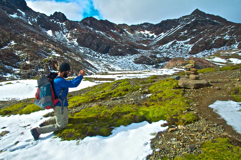
Again, the hill is steep, and our breaks are frequent. After about an hour, we finally break the tree line, and look back to see the Beagle Channel, a whole shitload of Andean peaks, and the beloved Puerto Williams. Further still, and we make it to our first landmark–Cerro Banderra. A few shots from atop:
Really nice. There’s also a Chilean flag up there that the Chileans put up a few years ago during a land dispute with the Argentineans. It basically stands for “f*ck off, this is ours.”
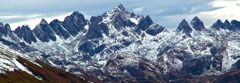
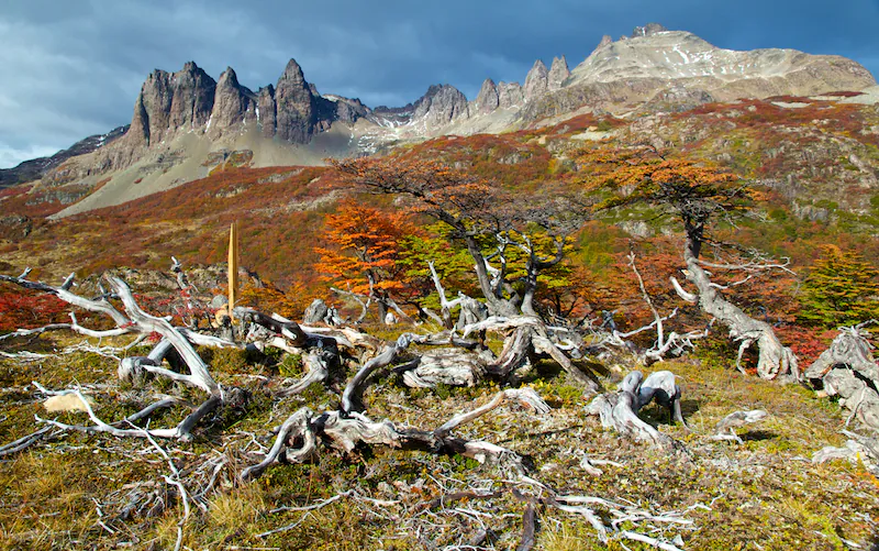
We take some pictures, hang about for a bit too long, and press forward. A few minutes of walking later, and we get our first view of Los Dientes themselves, shown here:
Absolutely stunning. We take our pictures, and begin to head left, towards the Dientes, under which we will camp for the night. It’s roughly 5pm at this point, and again, it gets pitch black around 8pm. The trail is marked by a mix of wooden stakes, which serve as checkpoints, as well as “carins,” which are small piles of rocks atop one bigger rock. The way to camp is described as an “undulating traverse” along the ridge, at roughly 700 meters above lake level, and concludes with an abrupt decent down to camp. Here is where things get really hairy.
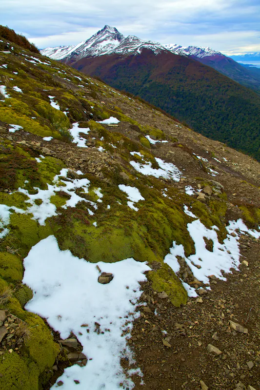
The traverse itself was not linear, but again, undulating. Down to 300 meters, back up to 700 meters, back down to 300 meters, rinse and repeat–hugging the treeline closely. The path itself was faint yet distinguishable–no more than one foot wide. The pitch of the mountainside was something like 65 degrees, and the path was covered with snow. Every single step required careful attention, full concentration, and two hands on whatever branches or boulders-with-handle-type-curves I could find. Honestly, one slip with the leading foot, and a second slip with the recovery foot, and shit would have gotten really real–like tumbling-down-the-bouldery-mountainside-with-a-20kg-backpack real. Not good at all.
For the majority of this traverse, I was shitting my pants. Cursing, shitting, and cursing some more. Then, we began to realize it was approaching total darkness, and I really began to panic a bit–I-might-not-be-coming-back-in-one-piece type panic. Thinking about my family, thinking about about my grandmothers, thinking about those I’d like to reconnect with. Perhaps it was contrived and perhaps not, but the thoughts were there. I was really, really nervous.
At about 7:45, with roughly 15 minutes until darkness, and still high up on the ridge with the temperature dropping fast, Lobo shouts from the back that he had pulled his hamstring, and couldn’t move.
…
This was the height of panic–for me at least. It was getting dark, getting freezing, and our options here were super limited. There was simply no way we could carry Lobo down the mountain, and with no phones, no other hikers in sight and a non-existent Puerto Williams Mountain Rescue team, the situation pretty much read “f*cked.”
Carey quickly doubled back to help out Lo, and I stayed put. Maybe 15 minutes of pep-talking and muscle rubbing later, and the two got moving, albeit slowly. It was pitch black by now, and we threw on our headlamps. After about 10 more minutes, we finally spotted the path for descent, and carefully yet surely recklessly wandered down. We were starving, and desperately wanted to be safely in our sleeping bags. Eventually and thankfully, both problems were solved, and the three of us nodded off to sleep. Hell of a first day.
For the trekkers–leave early. Again, Lonely Planet estimates 4 hours, but I’d give Day 1 at least 7. This pattern continued each and every day–the hike took roughly twice as much time as estimated by LP. So yes, I would strongly urge you to leave no later than 9:30am. In addition, I would strongly recommend waiting for a day with good weather to start your hike, because with any substantial wind, snow, sleet or rain (all plausible and to-be-expected on this hike), the traverse would have been a legitimate nightmare. So yes–wait for some good weather before you get started. Your underwear will thank you. Furthermore, there are definitely some carins and red markings (parallel red lines–you will find these often on the trail) to be found marking the path for traverse, but not nearly as many as you will find on future days. If all else fails, just stick to the tree-line. Finally, campsites can be found to the right of Laguna Del Salto, on its northwest shore, or just at the base of the descent and a bit to the left, on the lake’s southeast shore. The latter is probably a better choice.
Day 2: Laguna Del Salto to Laguna Escondida
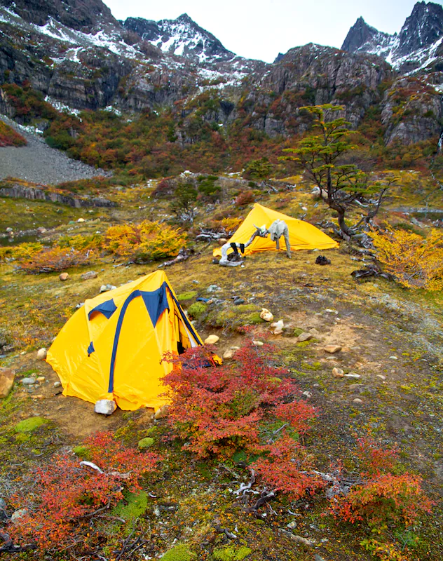
We wake up around 9am, and get going around 11:30am. Again, too late. Our camp looks something like this:
On Day 2, the trail begins at the south end of the lake, with an ascent adjacent to a waterfall up the Dientes themselves. We make our way around the lake, and greet a German guy who was still cozy in his tent. This guy, along with an American who had already gone off on a day hike, had actually come down the mountain shortly after us the previous night, scrambling down the slope in a similarly frantic fashion. The two were planning to head back that afternoon, as they were put off completely by the events of the day prior. Definitely no shame in that one.
After a quick convo, we head towards the waterfall, which looks something like this:
Once at its base, I remember that we had discovered that our majority gas tank was not compatible with the stove unit itself, and with the minimal amount of gas in our second tank, we’d have at most one more hot dinner for the rest of the trek. Carey quickly doubles back to ask the German guy what he’s got, and Lobes and myself press forward. We make it about halfway up the waterfall, and wait about 20 minutes for Carey to return. Germany comes up big, and we have hot dinners once more. Onward and upward.
The climb itself was a bit tricky–very steep, very wet, and very muddy. Each step definitely required the use of both hands, both eyes and most of the nerves. It wasn’t quite as terrifying as the night before, but at this rate, we figured the remainder of the hike to be a steady hell-storm of anxiety and gritted teeth. We were definitely there for a bit of an adventure, though, so it was what is was.
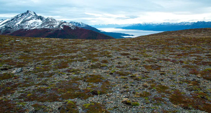
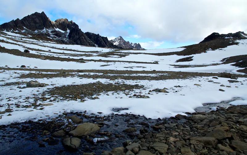
After maybe 40 minutes of climbing, we summit the fall and find a plateau. Shots of the plateau:
Stunning as expected. I can’t remember where I refilled my 3-liter Camelback on this day, but all water can be obtained on the circuit. The glacier runoff finds its way into small streams, which all contain the same super pure, super cold water from which all of the manufacturers initially draw their product. The water is amazing, clean, and everywhere. To the trekkers: no need whatsoever to bring your own.
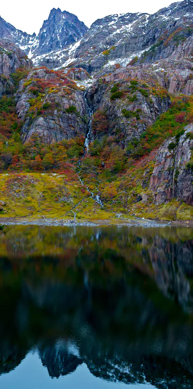
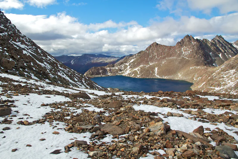
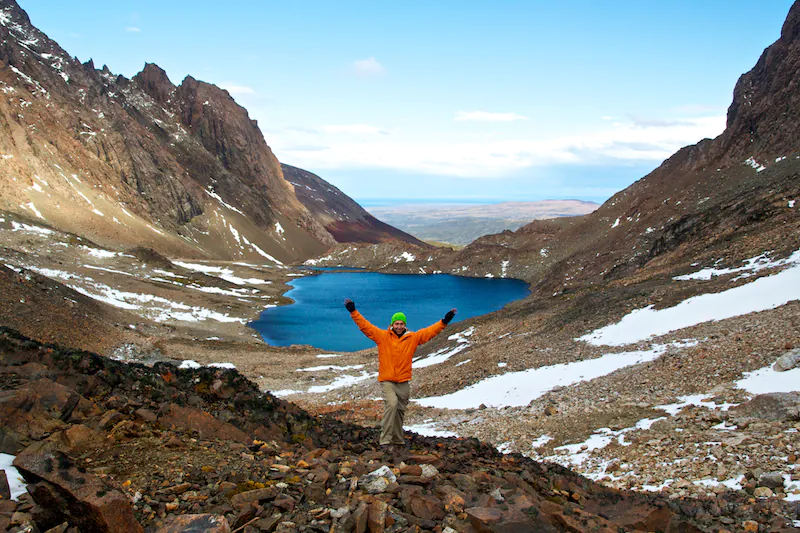
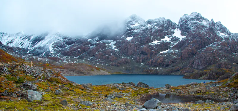
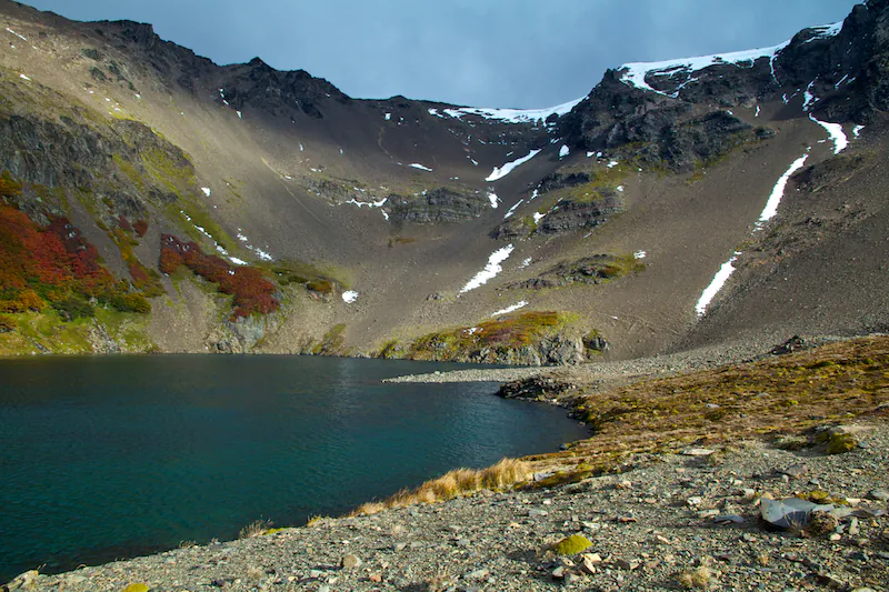
After a lot of photos, we press on towards the top-left of the previous picture. There’s obviously some snow on the ground, but this part isn’t so bad. There’s plenty of carins as well. We eventually come upon another lake, shown here:
Takes the breath from your body. The path continues around to the right, and requires another traverse. The pitch of this hill is maybe 55 degrees, and the whole thing is a mix of loose and not-loose boulders. Again, this was pretty hairy, and each step required some serious concentration. Very little room for error, and even more so with 20kg on your back.
We make it across OK, and then something really, really special happens. We come across this:
So, it’s a bit tough to see, but in the distance, roughly 60km away, is Cape Horn–Cabo de Hornos. This is the single-last solid land mass in the Americas, and in the world–where the Atlantic Ocean meets the Pacific Ocean. I keep hearing that Cape Horn has 3 inhabitants–some whacky European family. However, if this is false, or if this family was then on vacation, the above photograph captures me as the very single-last, southern-most person on inhabitable Earth; trekking to the very, very, end of the world. This was truly a special moment, and having the blue sky which made this view possible was an amazing stroke of luck. This was probably the “Hollywood highlight” of the trek, and not something I’ll soon forget.
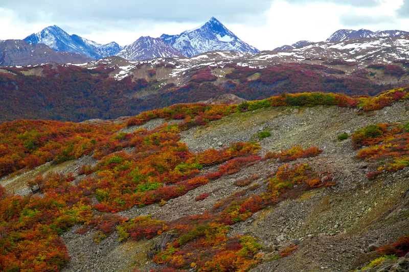
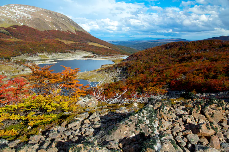
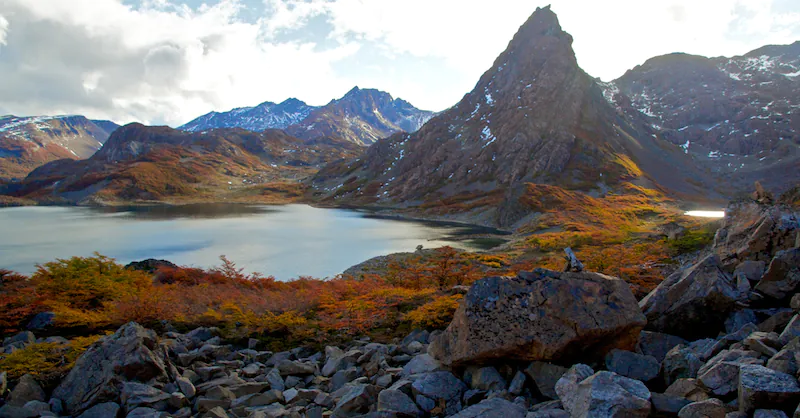
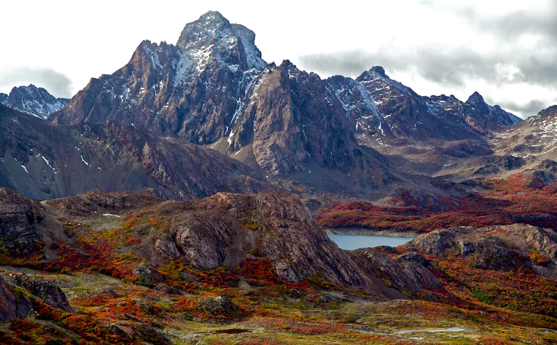
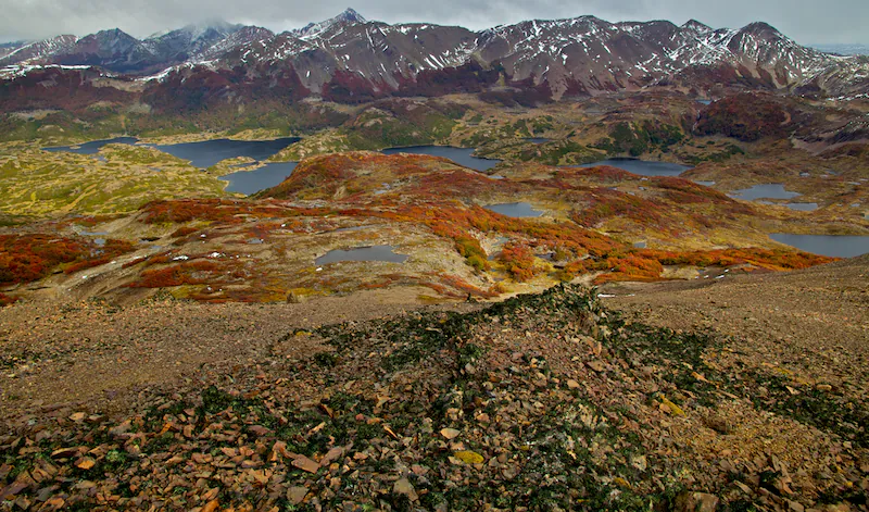
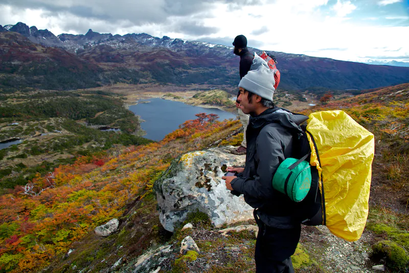
Next, we make our way down the lake, traverse around it’s left shore, head down the gap, and then head right. The remainder of the day’s hike was not exceptionally challenging, but of course, typically scenic. A few more pictures:
Amazing once more. We finally arrive at Laguna Escondida around 5:45pm, and search for our campsite.
To the trekkers: There are campsites at the base of the lake, but they are very exposed. Instead, read your map/Lonely Planet, and begin your hike for the following day; roughly 5 minutes in, a bit down the stream you will follow and roughly 50 meters from the mirador (heading away from the lake), there are much better sites. This is where we stayed. However, if you continue on even further, all the way down said stream and off to the right through the forest, there is a campsite sheltered by a massive boulder on one side, roughly 10 meters tall, and the forest on the other. It is an absolutely ideal, and this is my recommendation.
Day 2 of hiking was probably one of the best hiking days I’ve ever done, at the time. The views were absolutely absurd, and aside from some light clouds, light rain and light hail, it was a beautiful day. At this point, we were sitting in our tents, just as it was beginning to snow–well-fed, and heading off to bed for another epic 8 hours of walking in the morning. All safe, and all sweet.
Day 3: Laguna Escondido to Laguna Martillo
The crew wakes, and gets going right around 10am. There’s a fresh coat of snow on the ground and on the mountains behind, shown here:
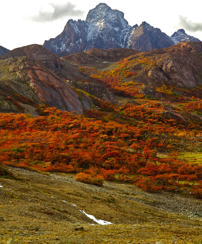
The hike continues, and the trail is relatively well marked–maybe a carin every 50 meters. Quite frequent, actually. We begin our first pass of the day, Passo Ventarron, and take in some more incredible sights. The pass is a bit steep, but we are viciously seasoned hiking deities at this point. No sweat at all. Pictures from the top of the pass, looking back on that from which we came:
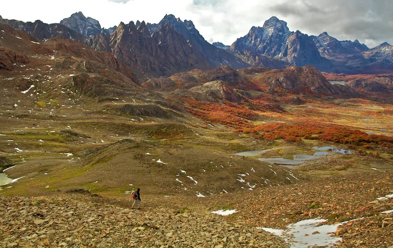
Yes. At the top of the pass, we cross over to the other side of the mountain, and when it seemed like the scenery couldn’t possibly improve, we were greeted with this:
Yes again. The place was just a joke. Like–the scenery was almost overwhelming. And just slapped a huge smile on your face at all times. Well, maybe just the times you weren’t scared for your life.
The path continued across the ridge, which was comprised of loose, soccer-ball sized boulders. However, it was easy enough to follow. We eventually descend, and skirt the rim of one of the lakes shown in the picture above. The path takes you into a forest, which is probably the beginning of the second pass of the day, Passo Guerro (I believe it was called).
To the trekkers: This part is well marked by red ribbons tied to the trees. Follow them.
When you finally emerge, you are at the shore of a small pond, and when you look left, you see that which is in the above photo (although at ground level). Here, we lost the path. Lonely planet tells you to continue the pass up a rocky chute which, given that which is in front of you, is rather ambiguous. So, to the trekkers, if you look ahead and to the right, maybe 30 meters away and 10 meters above, you will see a massive boulder. If you climb up to this boulder, you be able to pass to its right, or to its left. I recommend the left. Once you make it over the hill, you will see a fairly substantial, downhill stream, which you can do your best to walk down (as I did–pretty fun), or just descend through the adjacent forest, to the left of the stream.
Once you get to the bottom, you are done the pass. We did not realize this–it seemed far too easy. However, yes–you are done.
From here, continue to the right around the lake at which you are staring. This is Laguna Martillo. The path becomes a bit vague, but you basically just bushwack around, cross some streams and dodge some fallen trees, and make sure to stick to the lake shore.
To camp, you have a lot of options–you’ll frequently see campsites, and it’s really up to you to choose. The best site all depends on the season and weather, of course. At the very north rim of the lake, you’ll find a well marked site, elevated roughly 10 meters above a long stream fed by the lake. This site is very exposed, and we did not take it. If you continue roughly 100 more meters ahead, and maybe 10 to the right, you’ll find a nice gathering of trees that kind of form a semi-circle, and provide some nice wind protection. This is where we stayed. There’s a wooden marker nearby, which I believe is meant to be the first marker for the fourth day’s hike. Here’s a shot for reference, taken maybe 50 steps from our camp:
Beauty.
Day 4: Laguna Martillo to Laguna Los Guanacos
The following day, well, not much advice to the trekkers. The carins are there, often enough, and you just have to look for them. The Lonely Planet information is pretty sufficient.
We hacked away through some easy-enough terrain, and finally had lunch up here:
Eat well, because the pass for the day, Passo Virginia, is no joke: the thing is about 850+ meters of vertical ascent. The path inclines at an average of probably 65 degrees, and at points, gets a lot steeper. Like a ladder, even. It goes up, and goes up, and goes up and up and up and up.
Finally, you reach this very lunar-like landscape, which doesn’t end too soon either. Throughout, the path is pretty well marked by cairns. No real issues.
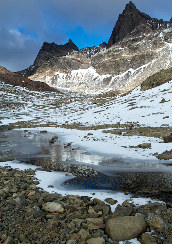
Once you finally get to the top, the real fun starts: the descent. Just as you went up roughly a vertical kilometer, you must go down. This was the second part of the trek where we were like “wait, we’re really meant to go down this?” The entire thing was super loose boulders, and of course, the pitch was very steep. No room for error at all. The descent took a mind-numbing 75 minutes, and every step required full concentration. This part is no fun. Unless you like dying. Picture of the descent, looking up from the bottom:
So, if you take your cursor to the top left corner of the picture, move it about 30% to the right, and then drop a line all the way to the bottom, that’s basically the path we took. In case it doesn’t look ridiculously hairy from this picture, let me reiterate that it was.
The path continues to the left of the lake, and concludes in a mirador. At the time of writing, this mirador, along with several others, are unfinished. It’s just the wooden structure, with no real sign or varnish. The trek is still very young.
At the foot of the lake, there’s a campsite. Very exposed. If you continue down, adjacent to the stream, you’ll eventually hit Laguna Los Guanacas (not Guanacos) and, once you see the 37th trail marker, you continue about 20 meters along the edge of the forest, and find the best campsite of the trek. Super sheltered, and even benches made of fallen trees around a campfire! It was a treat to sleep here, for real. Once situated, we cooked the remainder of our pasta and potatoes, and had a very-well-deserved feast for the final night camping–at the end of the world. Some great sleep was had.
Day 5: Laguna Los Guanacas to Puerto Williams
The last day, the final day, is meant to be the easy one. It is easy, but not too easy. The trail basically doesn’t exist, and if it’s a bit wet out, the day is a marsh-jumping, bog-hopping nightmare of sog and wet. Follow the trail as best you can, up through the forest, and effectively just follow your compass northeast until you hit the shore of the upcoming lake, where you’ll find the abandoned fish factory–the landmark for the day. It’s about 5 hours hiking from camp, and again, it gets messy. When we finally got down to the shore, and with the fish factory about 50 meters away, I stepped in a bog about knee-deep, and got a bit muddy. So close, yet so fitting.
Once you hit the shore, it’s a mere 7km walk down the road back to town. Hitchhiking is encouraged, assuming there are actually cars on this road. There rarely are.
With miraculous luck, we actually met a father and a son, in a van, who were driving back from this factory. We hitched a ride with them back into town, and concluded the most epic trek I’ll possibly ever do: El Circuito de Los Dientes de Isla Navarino.
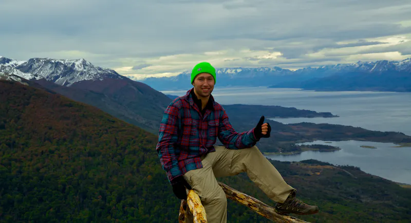
Once more, this was one of the most seriously magical things I’ve ever done. The scenery, the fear, the isolation and the adventure were all on full blast, and this is not something I’ll soon forget. For the trekkers, please feel free to email me with any additional questions. For the fans, well, thanks for reading this far. Probably the longest post I’ll ever do!
Happy and healthy still,
Will
Nice account (and photos) of the first portion of the trek! I will be on the lookout for pt II…
And the adventure continues….Great to read about your thrills. Envious of course! Keep living my dream and writing about it. It may be my only way of experiencing it! Hope you get up to Iguasu before you leave Argentina. A wonder of the world that you will also not forget. richNenaAle
Unreal. Absolutely amazing. Pete Pelberg shared your blog w me a few months ago and I have been checking in/getting inspired ever since. Wishing you continued safe and spectacular travels from your fans in LMSD. Doug Young
Thanks so much for the kind words Doug. Honored to have ya as a fan!
Hi! When did you do the trek? what month? I´m Chilean, and I want to go on my summer vacations 🙂 I´ll be waiting for your answer. Thanks
Maria: I did this in late March, 2012. I wouldn’t do it much later (into April). Autumn was definitely ending!